Log in
All resources
Create a design
72,641 Free Images of Early World Maps
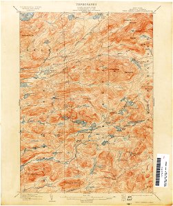
united states geological survey maps
topographic maps of new york (state)
maps of the adirondack mountains
maps in the library of congress
old maps of new york (state)
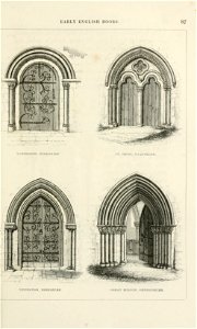
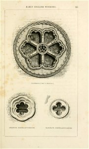
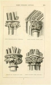
an attempt to discriminate the styles of architecture in england (1848)
early english
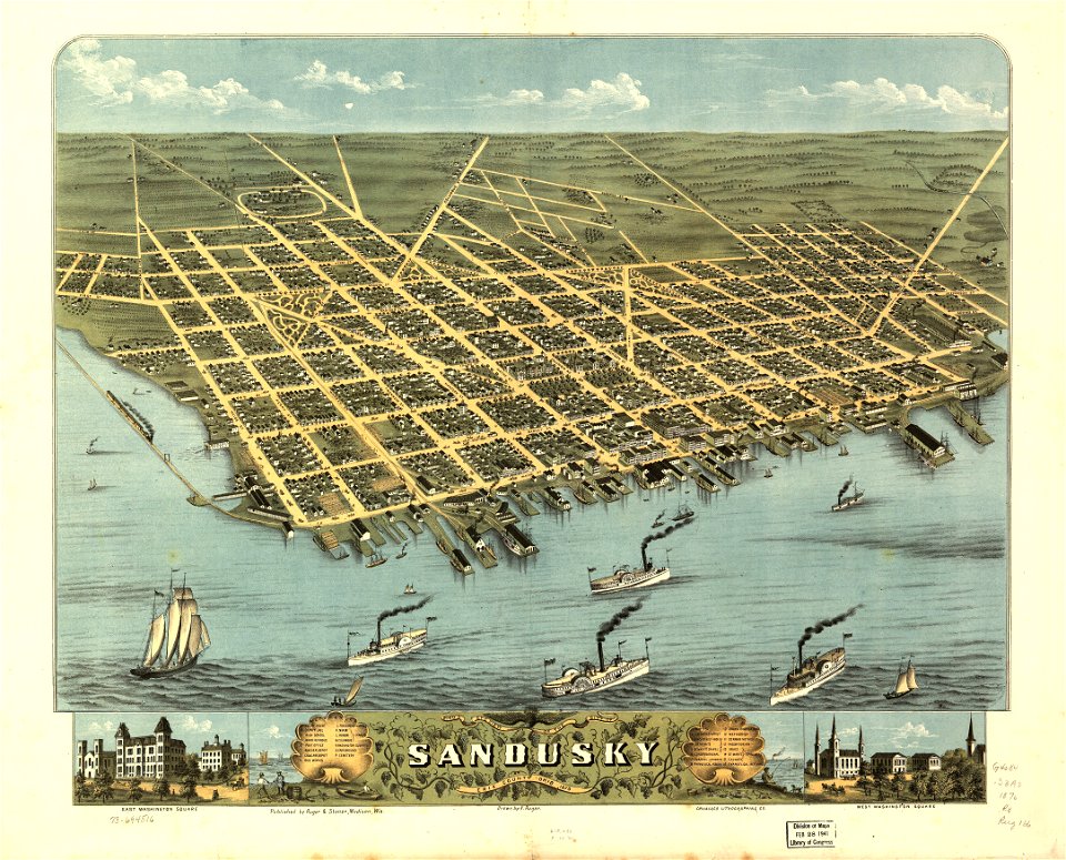
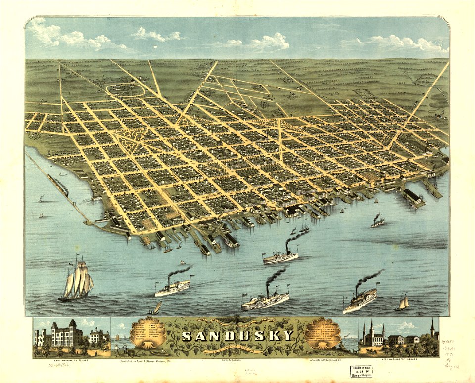
ohio
bird's eye view maps of ohio
o. h. bailey
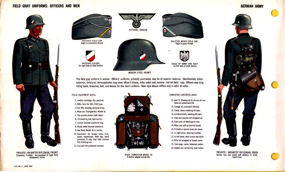
world war ii military equipment of germany
wehrmacht uniforms of germany
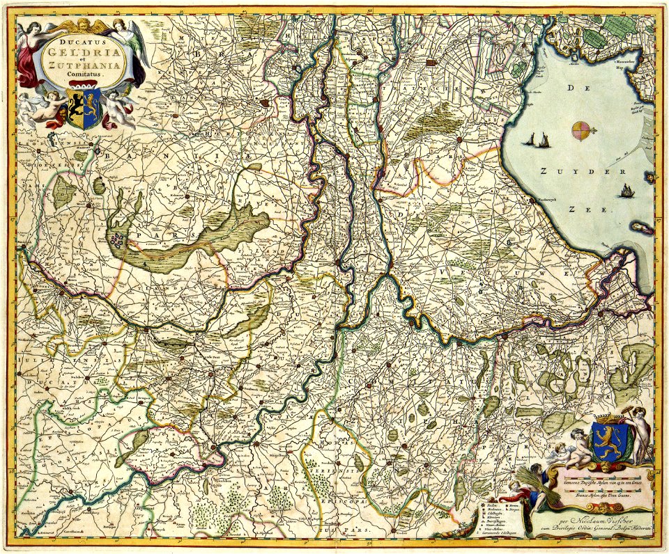
coats of arms on maps
guelder
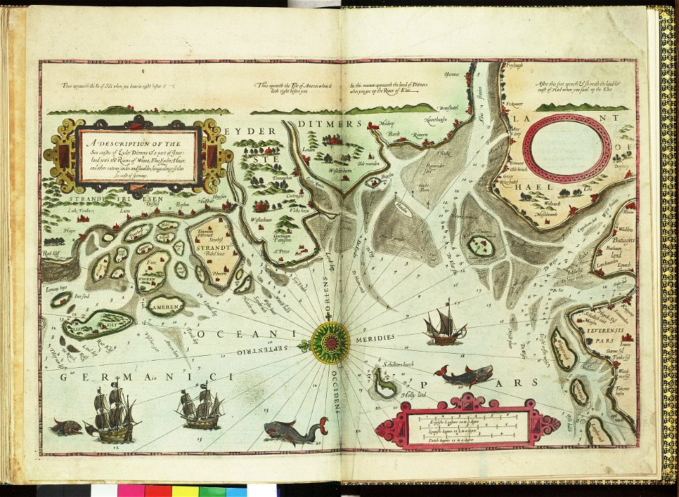
german bight
1588 maps
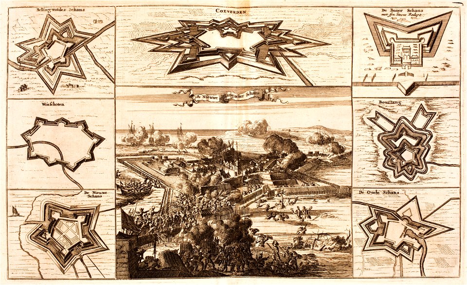
bad nieuweschans
coevorden
maps by samuel de champlain
old maps of new france
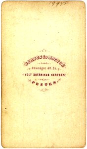
trademarks of early photographers from budapest
versos of photographs by borsos & doctor
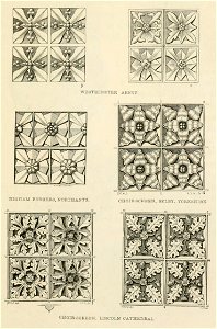
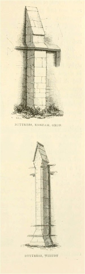
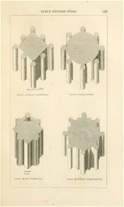
an attempt to discriminate the styles of architecture in england (1848)
early english
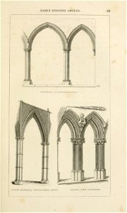
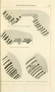
an attempt to discriminate the styles of architecture in england (1848)
early english
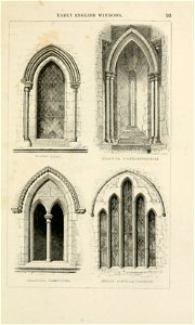
an attempt to discriminate the styles of architecture in england (1848)
early english
an attempt to discriminate the styles of architecture in england (1848)
early english
an attempt to discriminate the styles of architecture in england (1848)
early english
an attempt to discriminate the styles of architecture in england (1848)
early english
an attempt to discriminate the styles of architecture in england (1848)
early english
an attempt to discriminate the styles of architecture in england (1848)
early english
an attempt to discriminate the styles of architecture in england (1848)
early english
an attempt to discriminate the styles of architecture in england (1848)
early english
an attempt to discriminate the styles of architecture in england (1848)
early english
an attempt to discriminate the styles of architecture in england (1848)
early english
an attempt to discriminate the styles of architecture in england (1848)
early english
an attempt to discriminate the styles of architecture in england (1848)
early english
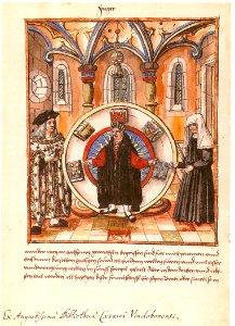
16th-century illuminated manuscripts
maximilian
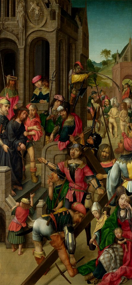
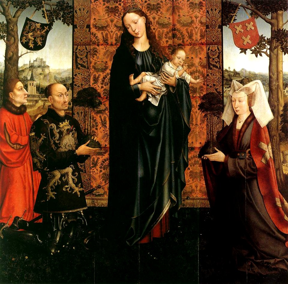
early netherlandish paintings of the ecce homo
master of delft
goswin van der weyden
berlin
engravings of ships
1892 engravings
early modern period
100 great paintings
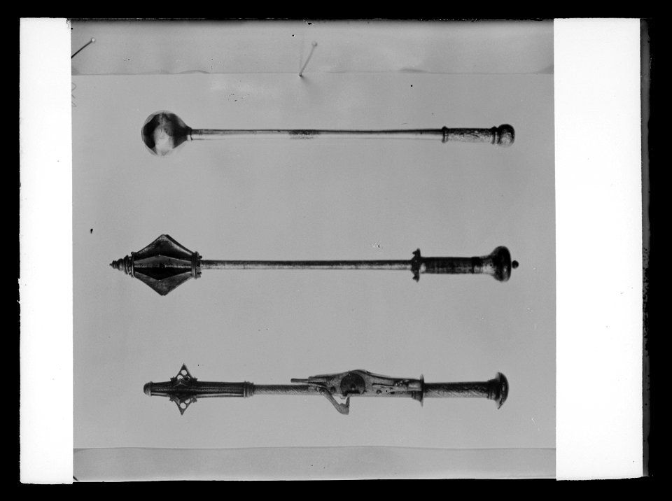
early modern maces
mace
early netherlandish paintings in the museum of fine arts
boston
early netherlandish paintings in the museum of fine arts
boston
maps in the library of congress
ohio
maps in the library of congress
ohio
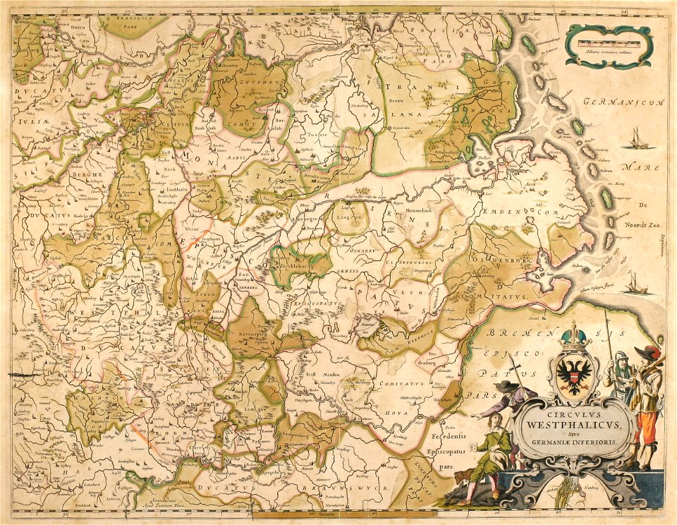
collections de la bibliothèque nationale et universitaire de strasbourg
german-language maps
old maps of north rhine-westphalia
maps by willem and johannes blaeu
english-language maps
1776 maps
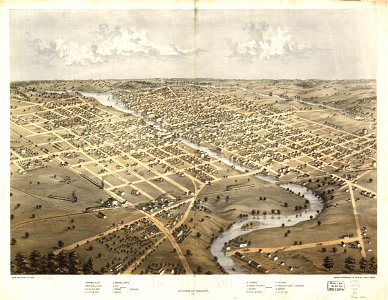
wisconsin
watertown
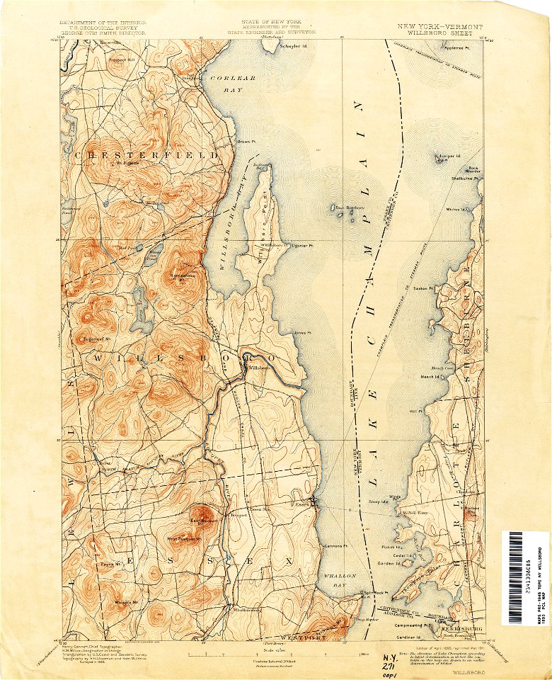
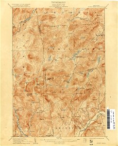
united states geological survey maps
old maps of new york (state)
united states geological survey maps
old maps of new york (state)
united states geological survey maps
old maps of new york (state)
united states geological survey maps
old maps of new york (state)
maps in the library of congress
old maps of south africa
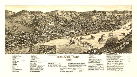
bellaire
ohio
bellaire
ohio
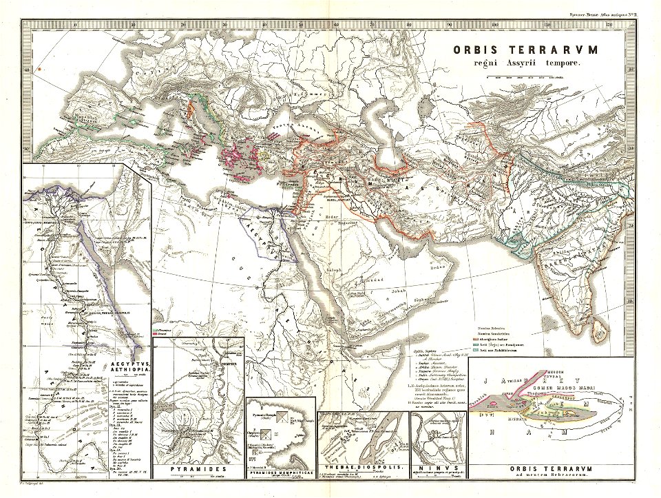
karl spruner von merz
1865 maps of europe
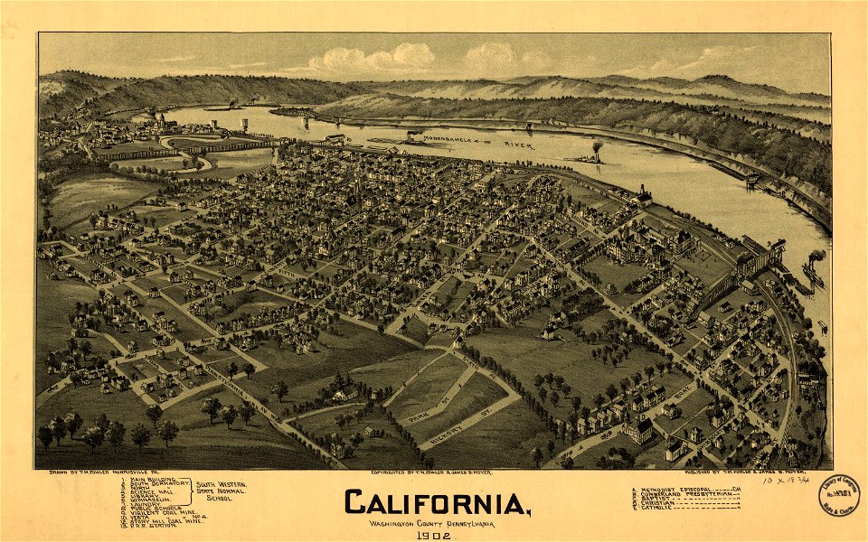
pennsylvania
california
illustrations of cosmographia (münster)
1550s maps of africa
19th-century maps of the caucasus
1865 maps
maps in the library of congress
ohio
pieter van der keere
ships on maps
maps in the library of congress
ohio
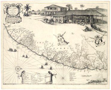
old maps of pernambuco
cornelis goliath
united states geological survey maps
old maps of new york (state)
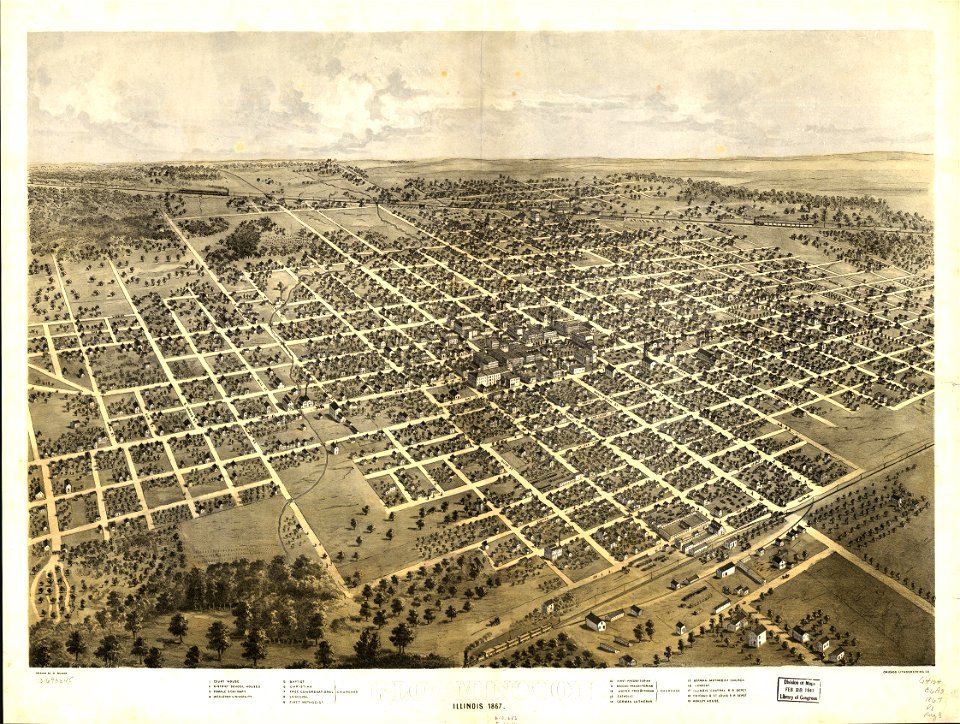
maps in the library of congress
illinois
maps in the library of congress
illinois
fonds ancely - bibliothèque municipale de toulouse - maps
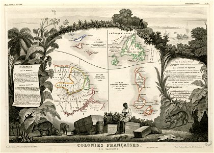
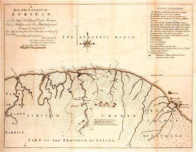
old maps of guyana
united states geological survey maps
old maps of new york (state)
united states geological survey maps
old maps of new york (state)
united states geological survey maps
old maps of new york (state)
united states geological survey maps
old maps of new york (state)
united states geological survey maps
old maps of new york (state)
giovanni marco pitteri
italian-language maps
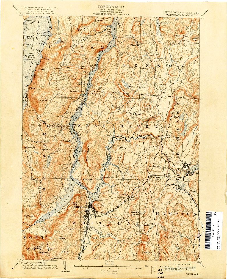
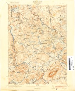
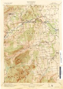
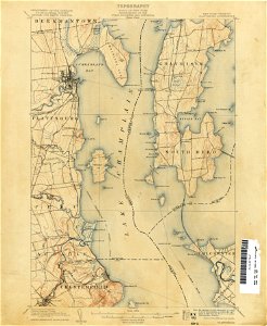
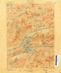
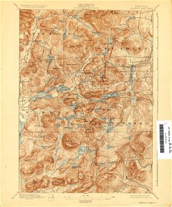
united states geological survey maps
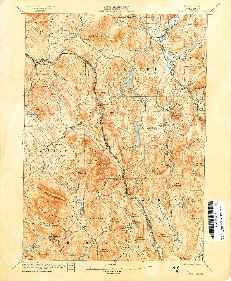
topographic maps of new york (state)
llanbadarn fawr
ceredigion
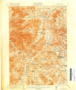
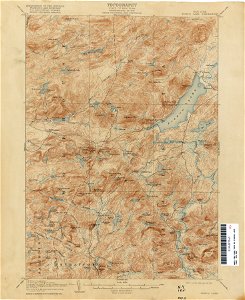
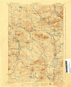
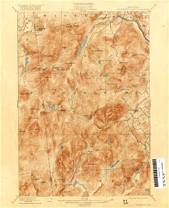
united states geological survey maps
topographic maps of new york (state)
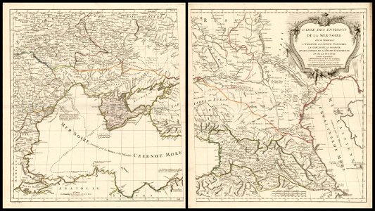
18th-century maps of the black sea
charles françois delamarche
maps in the library of congress
old maps of massachusetts
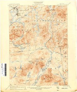
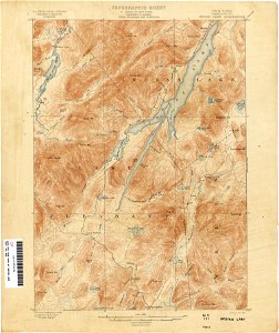
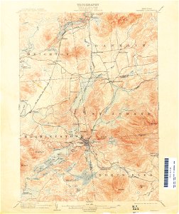
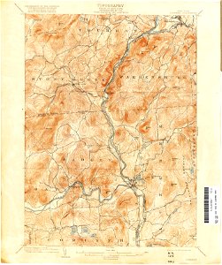
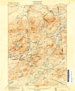
united states geological survey maps
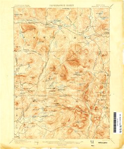
topographic maps of new york (state)
maps in the library of congress
old maps of massachusetts
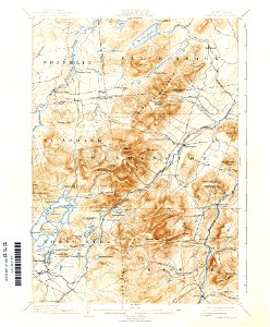
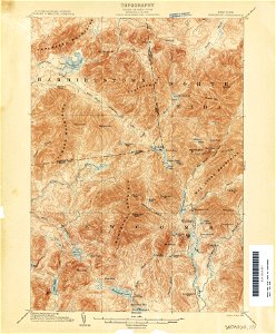
united states geological survey maps
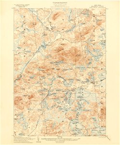
topographic maps of new york (state)
united states geological survey maps
old maps of new york (state)
united states geological survey maps
old maps of new york (state)
united states geological survey maps
topographic maps of new york (state)
maps in the library of congress
1861 maps of south carolina
united states geological survey maps
old maps of new york (state)
united states geological survey maps
old maps of new york (state)
united states geological survey maps
old maps of new york (state)
united states geological survey maps
old maps of new york (state)
united states geological survey maps
old maps of new york (state)
united states geological survey maps
old maps of new york (state)
united states geological survey maps
old maps of new york (state)
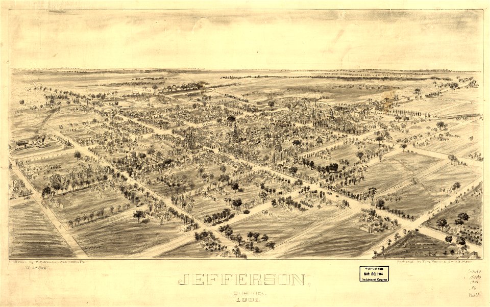
jefferson
ohio
jefferson
ohio
united states geological survey maps
old maps of new york (state)
united states geological survey maps
old maps of new york (state)
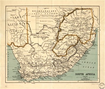
maps in the library of congress
old maps of south africa
united states geological survey maps
old maps of new york (state)
united states geological survey maps
old maps of new york (state)
united states geological survey maps
old maps of new york (state)
old maps of suriname
old maps of guyana
united states geological survey maps
old maps of new york (state)
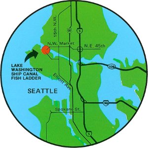
fish ladders in the united states
1996 maps
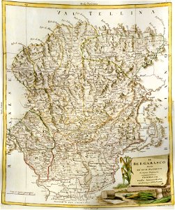
old maps of the province of bergamo
maps by antonio zatta
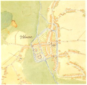
old maps of cities in the netherlands
maps by jacob van deventer
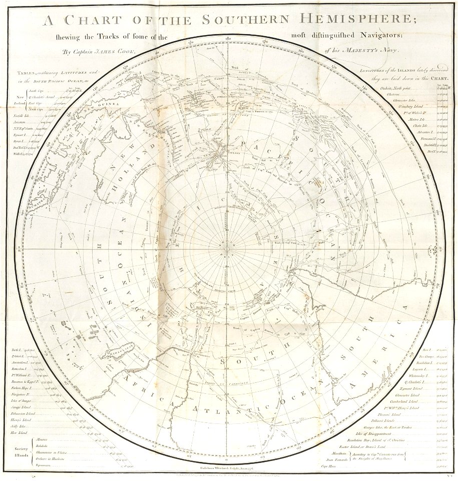
charts and maps of the royal museums greenwich
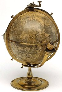
old maps of the moon
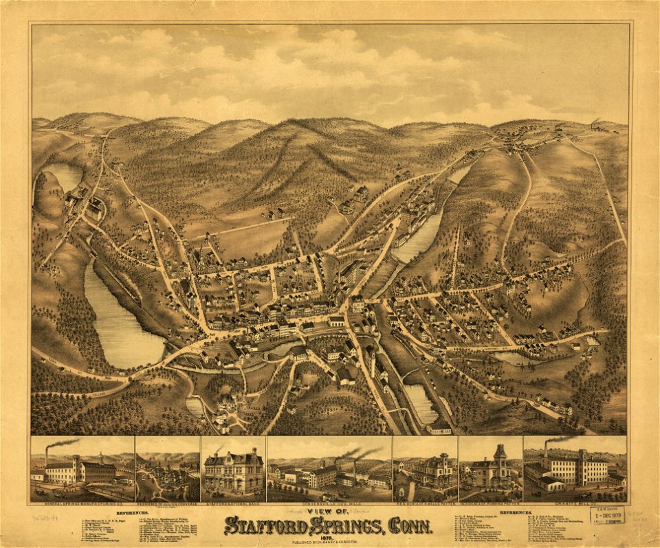
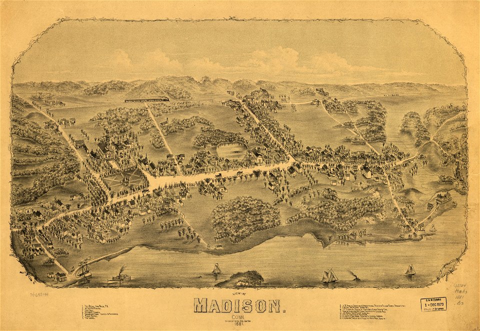
old maps of connecticut
o. h. bailey
old maps of connecticut
o. h. bailey
o. h. bailey
1880 maps
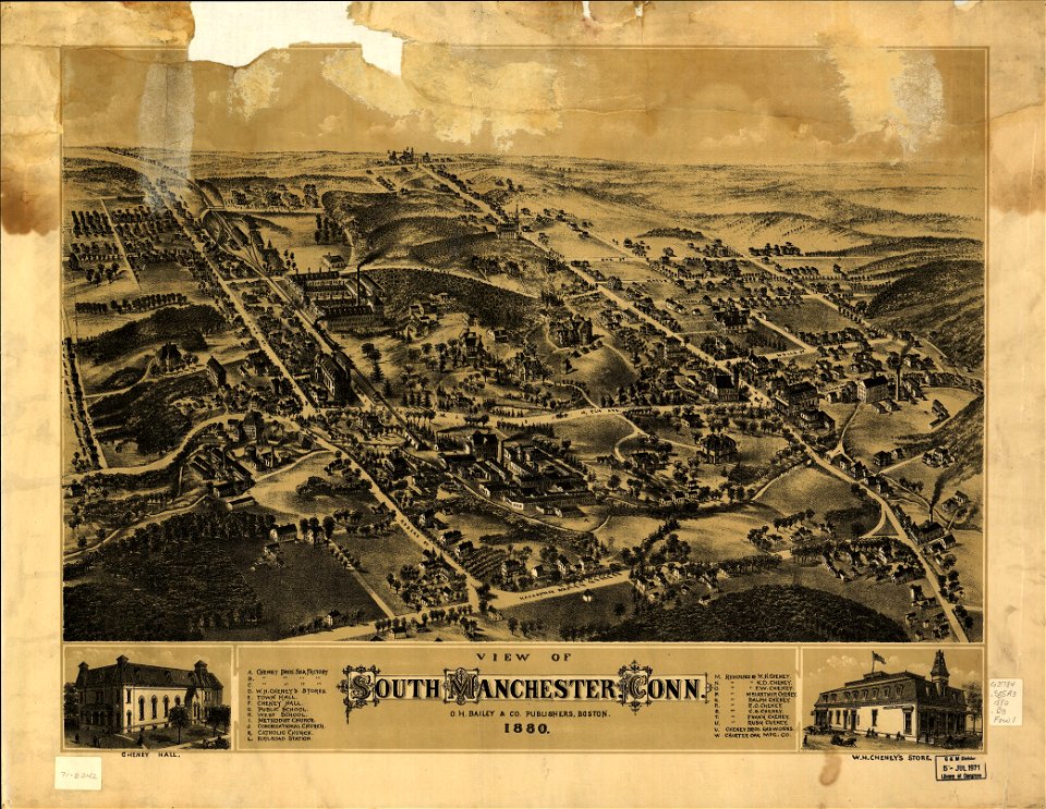
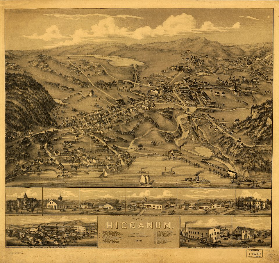
old maps of connecticut
o. h. bailey
old maps of connecticut
o. h. bailey
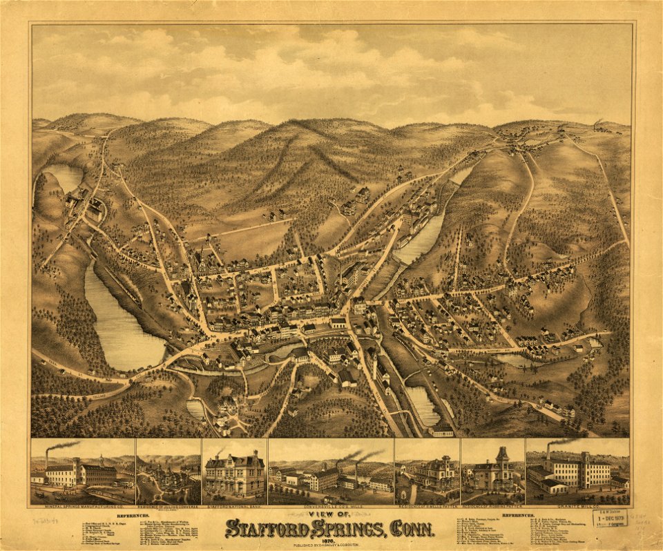
old maps of connecticut
o. h. bailey
old maps of connecticut
o. h. bailey
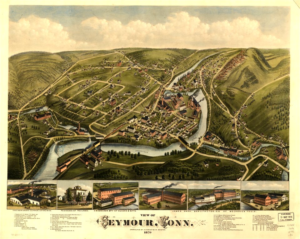
old maps of connecticut
o. h. bailey
4601 - 4700 of 72,641
Next page
/ 727